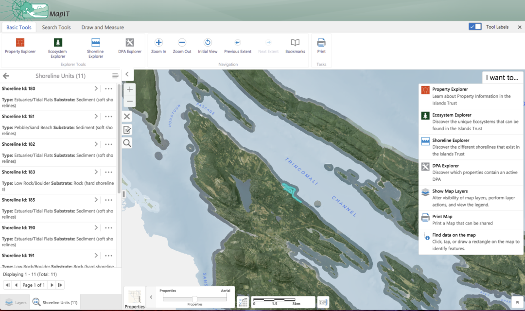
Islands Trust mapIT is an intuitive web site and suite of mapping applications. The goal of which is to provide easily accessible, accurate and up-to-date data and informative applications with useful spatial information. The scope of this information is the boundaries of the Islands Trust, a federation of local governments serving the gulf islands of British Columbia.
In addition to standard municipal information, mapIT contains tools to explore the variety of ecosystems and shorelines in the area. This allows development decisions to take ecological information into consideration. It also strengthens the ties between islanders and their environment through education and awareness.
mapIT was designed and developed to be intuitive and simple for the user, and takes analogue maps as a starting reference. The interface is supported by FAQs and video tutorials.